The Hydroelelectric Power Station of Malnisio

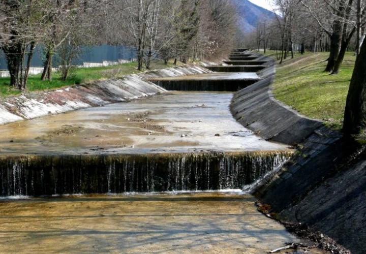
The A. Pitter hydroelectric power station of Malnisio,which was abandoned in 1988 and has recently been restored, is today considered one of the finest examples of hydraulic engineering and important evidence of industrial archaeology. Designed by engineers Salice and Zenari from Pordenone and put into operation in 1905, it illuminated Piazza S. Marco (St. Mark’s Square) in Venice for the first time. It was powered by the waters of the Cellina River, collected by the dam of Barcis and conveyed along the gorge of Valcellina with laborious waterworks that included tunnels, bridges and canals cut out of the rock. This also helped to end the isolation of the people of Andeis, Barcis, Claut, Cimolais and Erto thanks to the possibility of being able to construct a carriage road on the ducts. The idea to exploit the water of the Cellina River was actually more ample, because in the years that followed, the power plants of Giais (1908) and Partidor (1919) also came into operation, powered by the waterfall downstream the Malnisio. Today, the A. Pitter power plant has become a museum that houses the Science Centre Immaginario Scientifico. Along the route, the recent electric power plant powered by the Brentella can be seen near Roveredo as well as the old disused power plant in Giais.
The trail starts from piazzale S.Lorenzo (0.0 km) at RORAI GRANDE. Take the track to the left of via Chiesa di Rorai, leading to a subway to reach a traffic light at the crossroads on Viale Venezia, which is to the left. Cross the road and take the road opposite via Castelfranco Veneto (the second to the right), which is followed by crossing two intersections. Continue alongside an industrial estate until reaching the small bridge on the Brentella canal (3.2 km). Do not cross it as the road, via Brentella, is very narrow and busy. Take the small paved road to the right, which runs parallel to the canal that leads up to a crossroads. This is ROVEREDO IN PIANO.
Cross the road and continue, along a section that is closed to traffic with the canal on the right-hand side. From here, cross the busy via Pionieri dell’Aria and take a small dirt road in front, that has restricted access (4.8 km). The straight dirt road of via Brentella starts here; follow it for a distance, cutting across fields and cultivations, always flanking the canal. Continue straight, ignoring the side roads and cross a paved road past the electric power station on the Brentella. Proceed along a concrete section (former tank road); turn right and go straight, with the military area to the left. Take the dirt road further to the right (with the canal to the left) and after about 650 metres cross the canal again (9.5 km). Continue along a parallel road towards the mountains, with the canal again on the right. Cross the first paved road (watch the traffic) and at the second road turn right and then immediately left, going onto a paved section with the canal to the left. This is S. MARTINO DI CAMPAGNA.
Go past the waterworks and the wide artificial canal (this is where the Brentella canal terminates along the route). Cross a second paved road (13.4 km) “watch the traffic!”and take the cart track to the right coming out onto a dirt road towards the left. At a wide junction (15.7 km) turn to the left and, ignoring the side roads, pass the stele (with two imploring hands) and a small rise, leaving the waterworks of the Consorzio Meduna-Cellina to the left and having reached the crossroads (opposite you can see the railway keeper’s cottage), turn right. Ignore a small road to the right, passing under the railway into the square of the disused power station of Giais (17.8 km). Continue and after a few metres, take the lovely paved “Ciclovia Pedemontana FVG 3”, passing under two water ducts.
Follow the paved road and the indications to reach the railway keeper’s cottage, turn left and when the paved road turns sharply to the right, continue straight ahead along a dirt road. This is now MALNISIO. The road is then paved again (along via Damiano Chiesa); at the crossroads turn left and onto the “Pedemontana” road (21.7 km). Cross the road and take the road to the right (via Alessandro Volta); after the crossroads go straight ahead to reach the A. PITTER power station after a short distance. From piazzale S. Lorenzo in Rorai Grande, the distance covered is 22.5 km. To return, follow the same route back, otherwise, you can pass the power station up to Montereale Valcellina and take the cycle track to reach Aviano or go back to the point where it was left.
END
